History
The population of Zanzibar is made up of people from diverse ethnic origins. The first permanent residents of Zanzibar appear to have been the ancestors of the Bantu Hadimu and Tumbatu, who started arriving from the African Great Lakes mainland around A.D. 1000. They belonged to various mainland ethnic groups. Generally, they lived in small villages without forming larger political units.
During Zanzibar’s brief period of independence in the early 1960s, the major political division was between the Shirazi (Zanzibar Africans), who made up approximately 56% of the population, and the Zanzibar Arabs, the majority of whom arrived from Oman in the 1800s, and made up approximately 17%. Today, Zanzibar is mostly inhabited by ethnic Swahili, with some Arabs, Persians, Somalis, and Indian people also residing there.
Geography
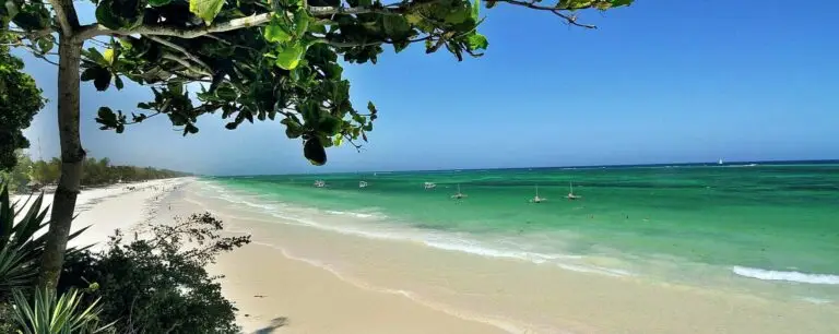
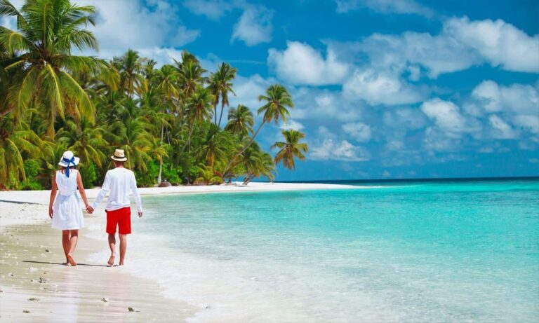
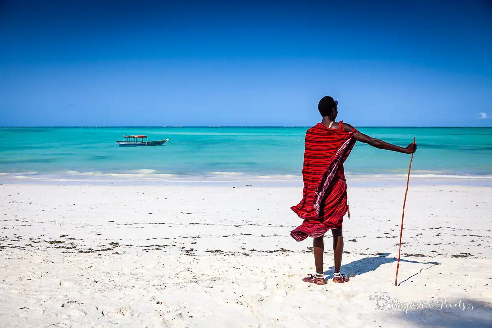
Zanzibar is an island in the Indian Ocean, situated on the Swahili Coast, adjacent to mainland Tanzania (Tanganyika). The northern tip of Unguja island is located at 5.72 degrees south, 39.30 degrees east, with the southernmost point at 6.48 degrees south, 39.51 degrees east. The island is separated from the Tanzanian mainland by a channel that is 36.5 km (22.7 mi) across at its narrowest point. It is about 85 km (53 mi) long and 39 km (24 mi) wide, with an area of 1,464 km2 (565 sq mi). Unguja is mainly low-lying, with its highest point being 120 m (390 ft), and is characterized by beautiful sandy beaches with fringing coral reefs that are rich in marine biodiversity.
The northern tip of Pemba Island is located at 4.87 degrees south, 39.68 degrees east, and the southernmost point is located at 5.47 degrees south, 39.72 degrees east. The island is separated from the Tanzanian mainland by a channel that is about 56 km (35 mi) wide. It is about 67 km (42 mi) long and 23 km (14 mi) wide, with an area of 985 km2 (380 sq mi). Pemba is also mainly low-lying, with its highest point being 95 m (312 ft).

